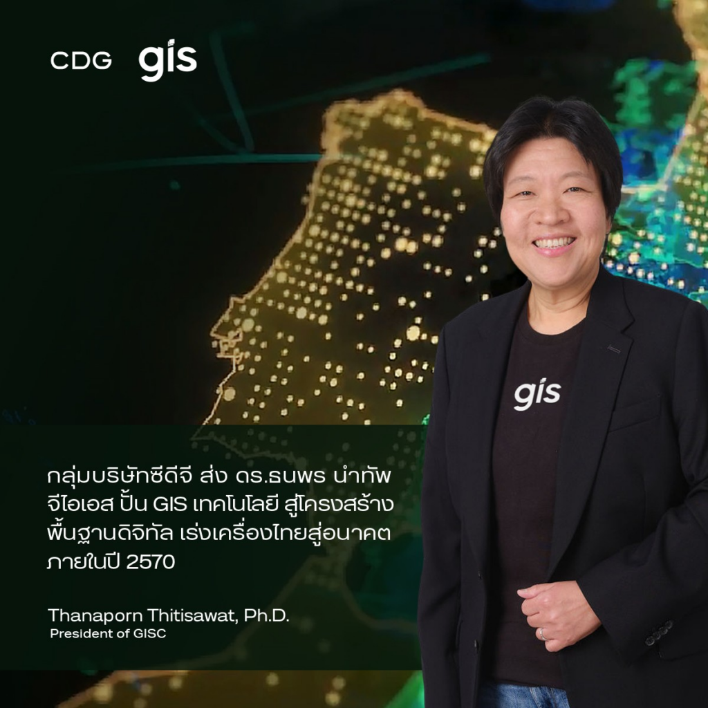
กลุ่มบริษัทซีดีจี ส่ง ‘ดร.ธนพร’ นำทัพ ‘จีไอเอส’ ปั้น GIS เทคโนโลยีสู่โครงสร้างพื้นฐานดิจิทัล เร่งเครื่องไทยสู่อนาคต ภายในปี 2570
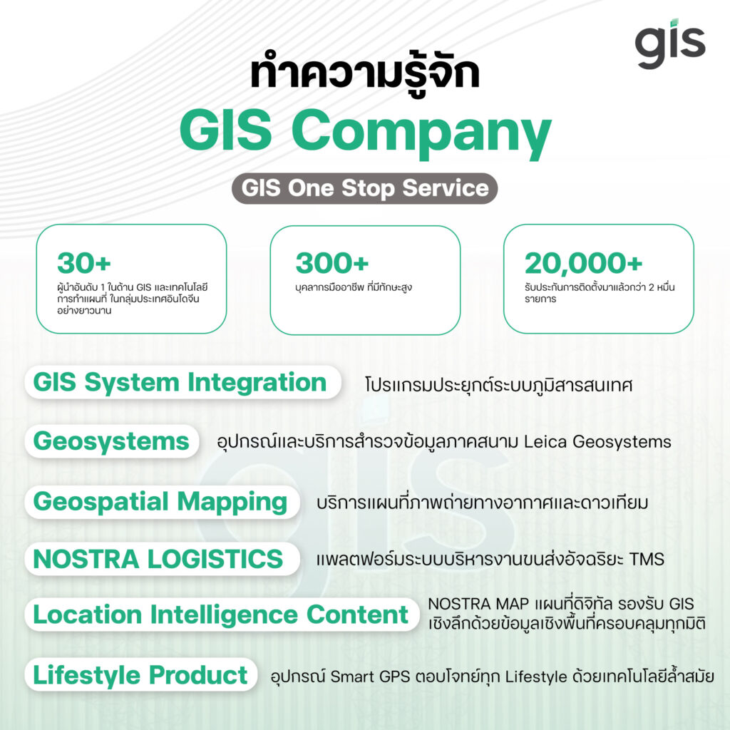
กลุ่มบริษัทซีดีจี แต่งตั้ง ดร.ธนพร ฐิติสวัสดิ์ ขึ้นดำรงตำแหน่งประธานบริษัท จีไอเอส จำกัด ผู้นำให้บริการระบบภูมิสารสนเทศแบบครบวงจร