Study and analyze user needs and plan projects for efficient application of GIS technology.
GIS Consulting Service
Geospatial Consulting Service
Geospatial Data Service
Survey and collect precise field data based on customer requirements. Also provide digital mapping service and satellite or aerial imagery analysis.
Map Production
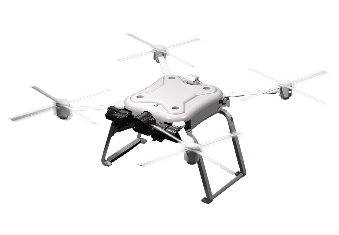
Field Survey and Data Collection Service
Photogrammetry and Satellite Imagery Service
Digital Elevation Consulting and Service (LiDAR)
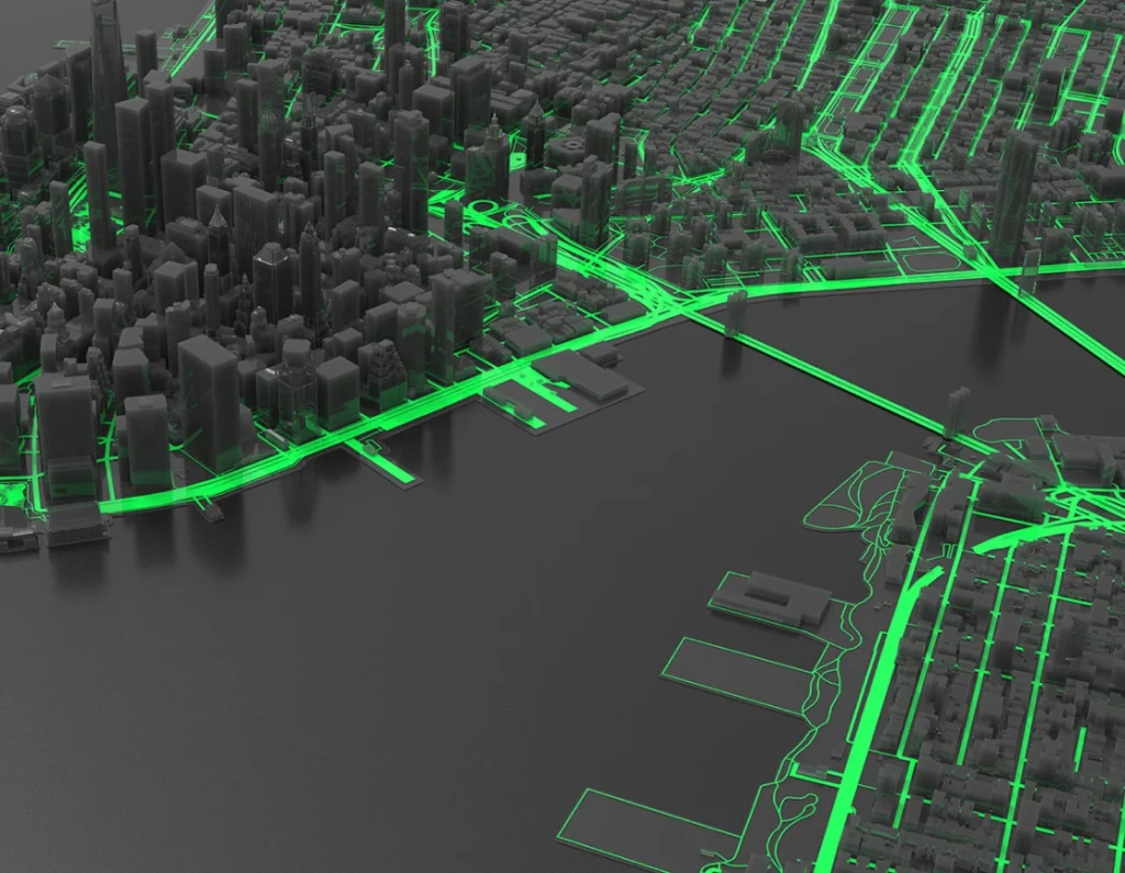
3D Reconstruction Model and Urban 3D Model Service
GIS Application Development Service
Design and develop GIS applications of different types tailored to meet the client’s needs.
Web-Based Application
Mobile Application
Client-Server Application
Enterprise System
Implementation Service
Design IT infrastructure and implement GIS project into action by determining the scope, budget and timeline for a project, and managing the project to ensure it achieves its objectives.
Maintenance
Service
Maintenance service forIT infrastructure, software and GIS applications to maintain and keep a system in good operating condition and stay productive.